Stage 3: Königstein – Kurort Gohrisch

Discovering Königstein
Neue Schanke had been our base all evening. In fact, it was not possible to just explore the village itself. We always had to do that by climbing the bit to the castle and then descending considerably. On the third walking day, however, we would do this as part of the route, after a breakfast in which artistically cut sausages stole the show.

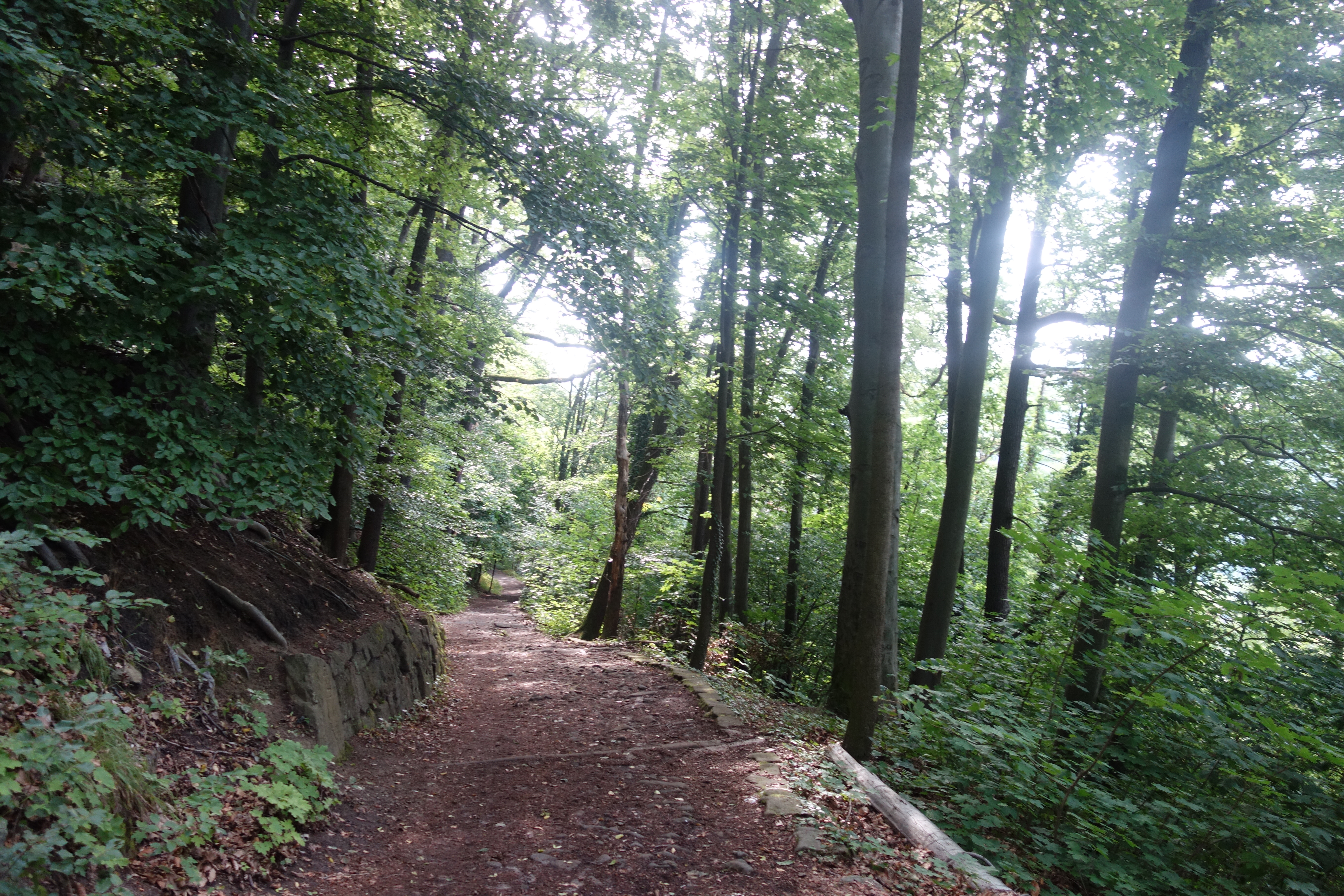
So after checking out, we had to climb again and then descend quite briskly through a forest. So we arrived in Königstein which has quite a pleasant centre. It made it extra unfortunate that we should have spent the night on the other side of the hill. Anyway, we could stock up on provisions for two days here and take a sanitary stop. I did suddenly fear that my glasses had been left behind in our previous stay, but returning was not really an option. It was waiting for luggage tonight.

Another Malerweg icon

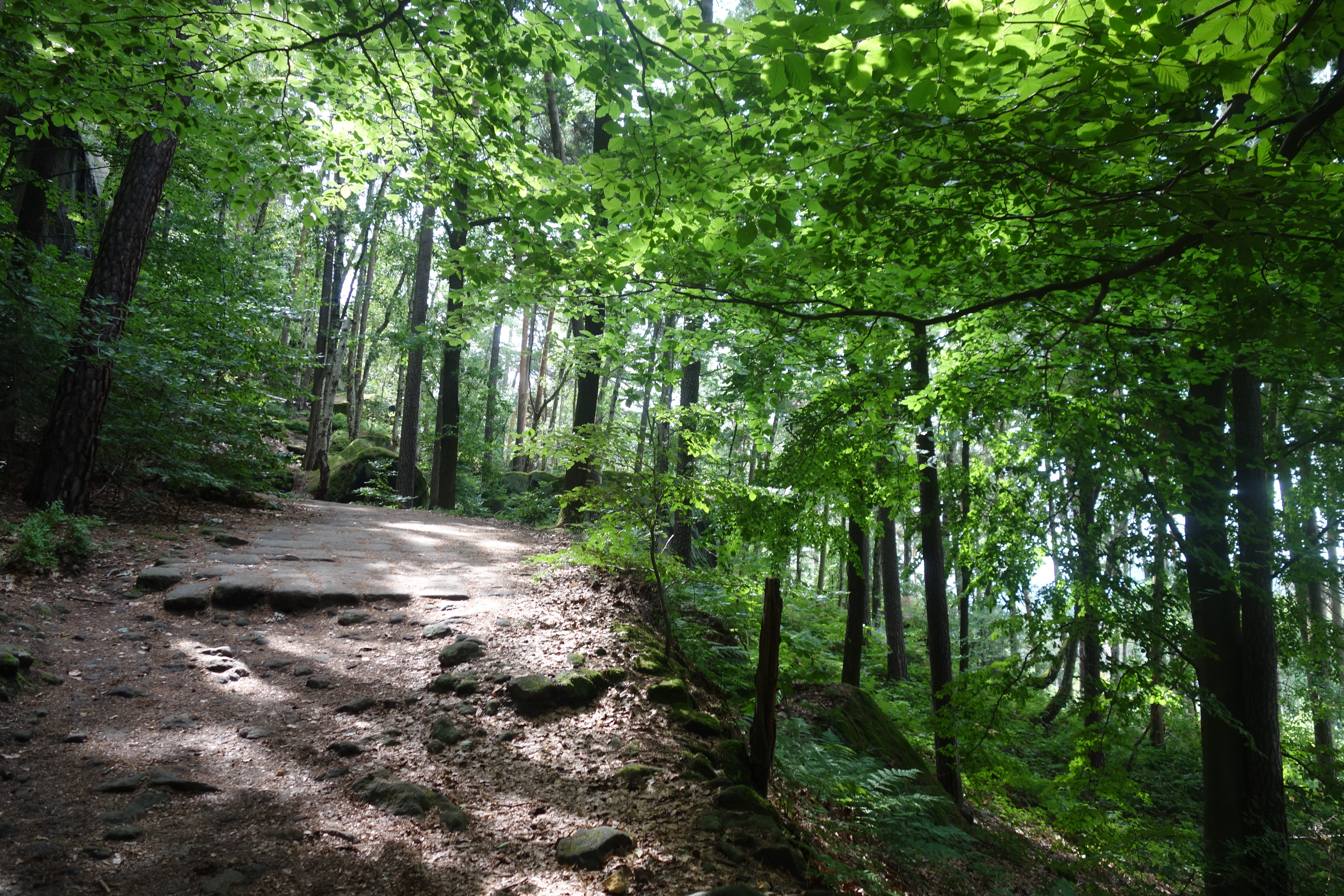
Once out of Königstein, there was immediately a steep ascent, first along a small local road, then again along a forest road and so to a forest, where we would spend quite a long time on this short hike. The narrow, winding path led past rock formations and hilltops with names like Kletterhöle and Quirlwachter, as well as a stone drinking trough. Then the forest was briefly abandoned before heading to the highlight of the day, the Pfaffenstein massif, not much later. The way towards it was already accompanied by an increase in jagged and imposing rocks and formations.

And we could feast on a triptych of natural entertainment. First was the side trip to the Barbarine, a 42-metre-high rock needle and local darling. It required some searching but fortunately we did not miss this gem. Perseverance won out in this one. The road to it was also via a first narrow gorge.

Rocks and descents
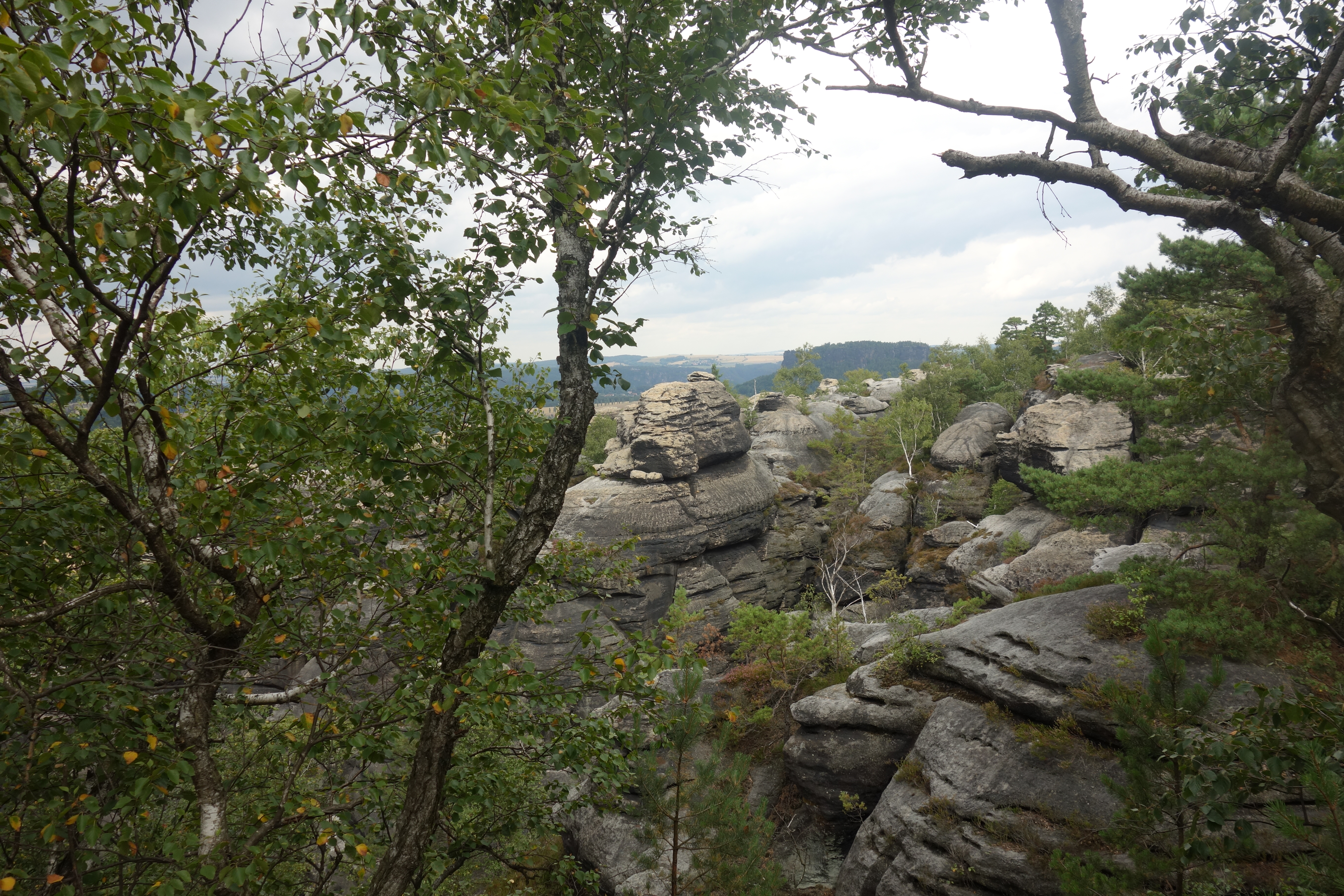
Once we returned, we had two options. Option 1 was an easy descent, option 2 gave us panorama but, according to the guidebook, also a tough descent. We opted for the full experience and thus chose the latter. After doing some climbing and passing the local hospitality spot on the plateau, we did a tour of the panoramas of all kinds, including the Teufelskessel, the Dom and the Einsamer Ritter. It also turned out to be a good picnic spot. What did stand out were the many young parents and very young babies who also ventured the hike.

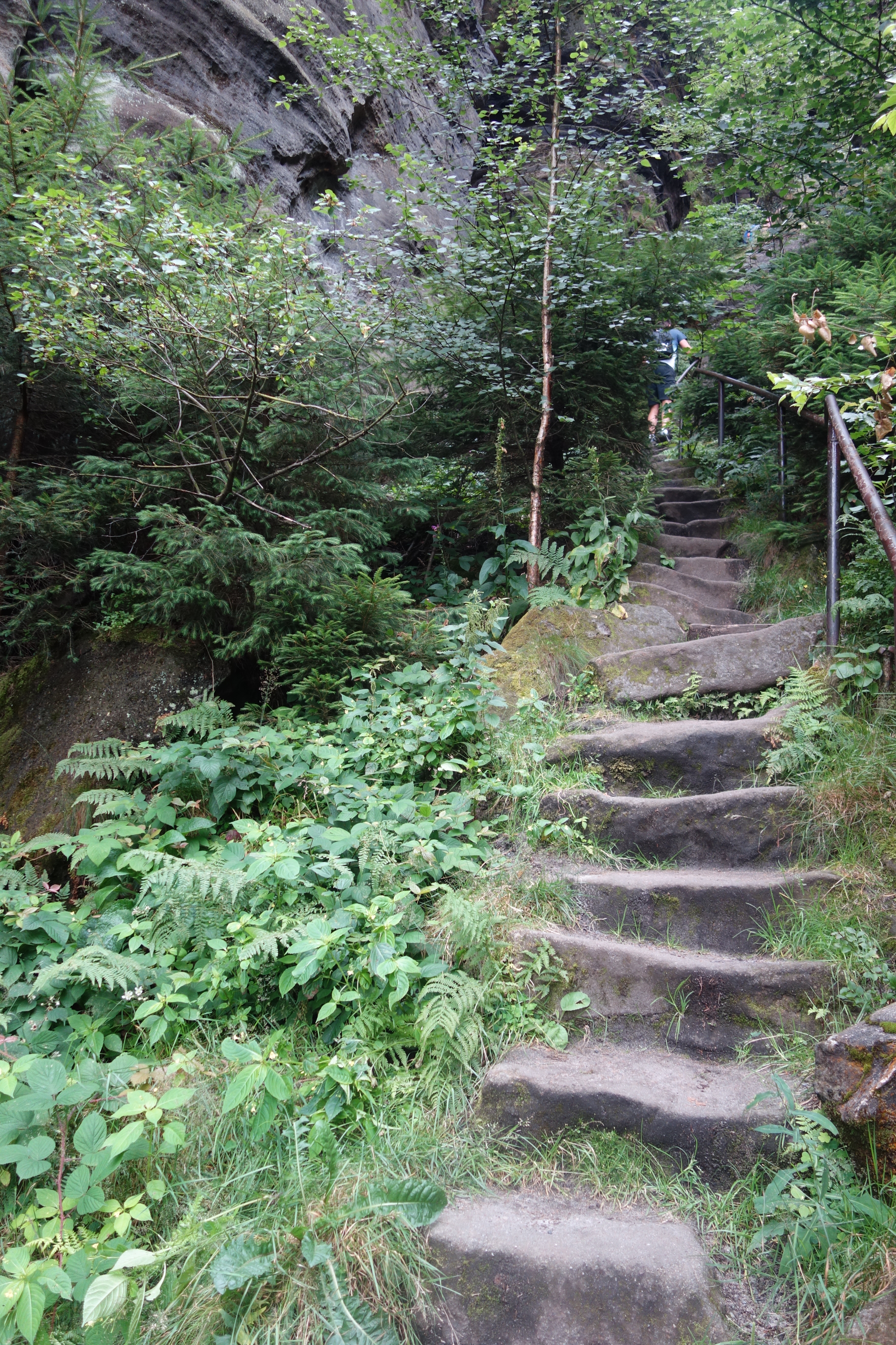
Then there remained the descent along the so-called Nadelöhr, a bottle neck that required a ladder and steep iron steps for a while. I managed to wriggle through with some scraping of the rucksack. The sections after that were relatively challenging due to the height differences of the stones and steps, but rather traditional in terms of descent skills.

A spa town with limited restaurants

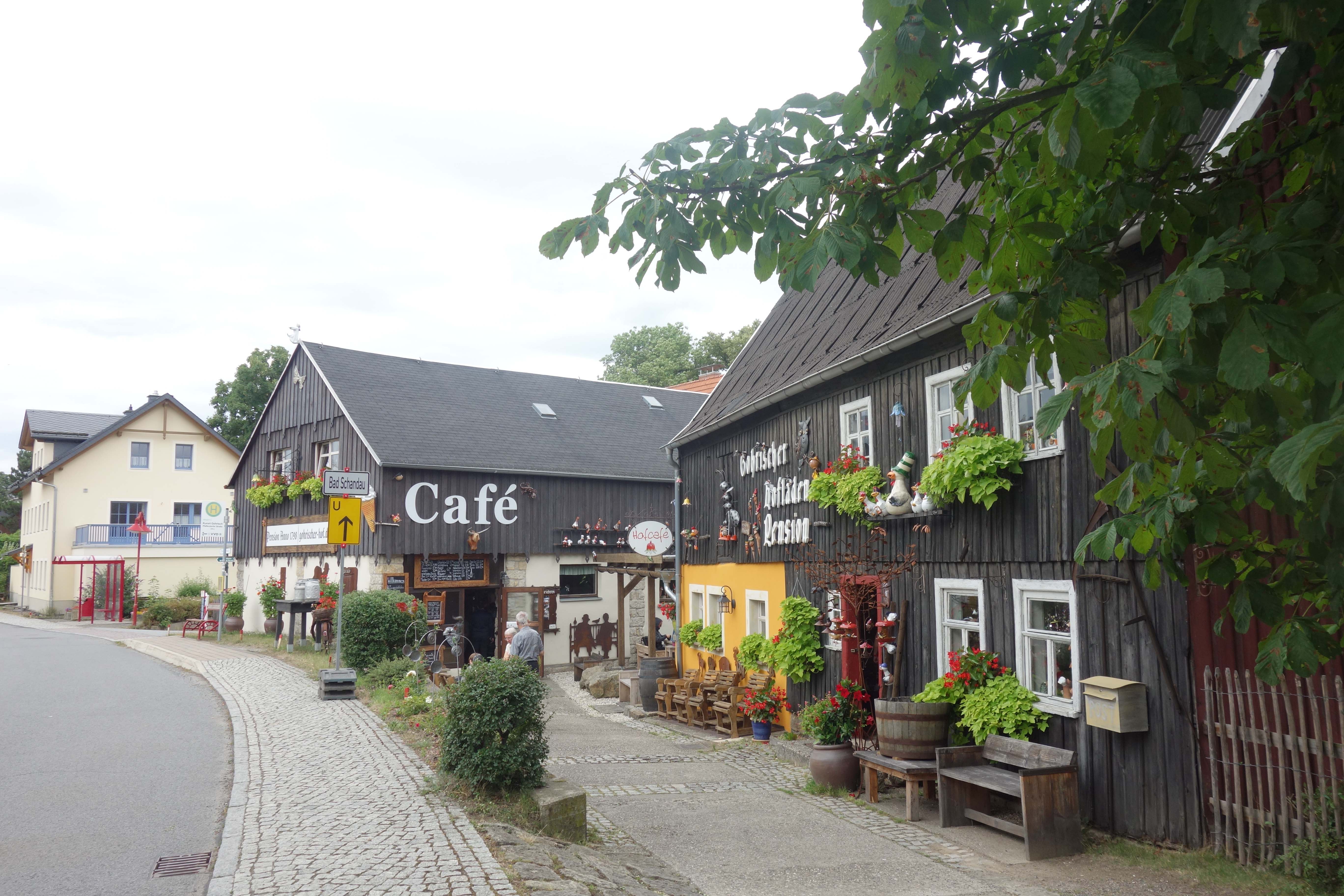
We descended further to Pfaffendorf, a small cosy village, and finally to Kurort Gohrisch, equally cosy, slightly larger, but also with many lodgings and little catering. Luckily, we stayed at Pension Villa Irena, where they were helpful enough to make reservations for us. Just before, we had also tried our first (and only) ice cream.

Eventually we made our way to Margaretehof, a cosy restaurant belonging to the hotel of the same name. We ventured in for a starter (goat cheese croquettes and mushroom soup). For the main course, we took the local speciality, Bohemian goulash with knödelen. It was tasty and the service was friendly. I unintentionally surprised the waitress by accidentally giving a twenty euro note instead of five as a tip. Fortunately, she was honest enough to say that was really too much.

Find more walks on Malerweg here: https://seatothelandbeyond.wordpress.com/malerweg-and-sachsische-schweiz/

Stage 2: Kurort Rathen – Königstein

Today, some pre-announced highlights were on the menu. Our experience yesterday taught us that this meant paying attention for the motivated day tourist. That was certainly the case for the iconic Bastei Bridge. And so it was a case of leaving early enough. After an early breakfast, we were able to leave Rathen behind them at a little after eight.

The Malerweg icon and a special castle ruin

A short climb took us to the Bastei Bridge, with stunning views of some impressive rock formations and the surrounding landscape. Upon arrival, there were barely any people to be seen. Ten minutes later, the situation was already very different. Our choice strategically turned out to be the right one. This allowed us to enjoy this highlight, where you feel very small and insignificant on the large bridge in this impressive landscape.

Our hiking description then sent us to the soulless catering complex, although it seemed to me that we still wanted to score a panorama of the bridge somewhere. So we turned back and got the familiar breathtaking view that graces many a promo photo. Of course, it’s not always about the photos and panoramas, but this one was incredibly beautiful.

While we were at the bridge again, we continued a little further towards our starting point, where the remains of a startling castle stand. The Neurathen ruins could be visited via a tangle of steel bridges, some with a bit more precipice than others. In any case, it was a short but enjoyable visit to a handsome piece of castle architecture embedded in the rocks.

Even more fairytale-like

After both these small but more than justified sidesteps, we went past Bastei again and so somewhat away from the tourist feeling, until we reached the Steinerne Tisch, where the German explanations vaguely said something about Electors and hunting traditions. The collection of stones could certainly offer a suitable picnic spot at another time, but we were only just on our way.

Then followed a passage reminiscent of the bit after Hohnstein, only it was all even grander, cleaner and more majestic. Rocks towered above us, often mossy. Impressive tree trunks lay snapped on the ridge. Almost every rock was photogenic. It was quite a (nature) experience to walk here.

A second castle and a rocky table mountain

A short stretch of tarmac took us to the cosy little town of Stadt Wehlen. Here, too, we could walk past remnants of a castle. Although this one was slightly less well preserved and its location and views were a bit less spectacular. After a short break in Wehlen’s market square, we took the ferry. Contrary to expectations, our hotel guest card was not valid on this ferry, which was made rather unfriendly by the driver (with two “neins”). So we paid €1.80 each for a trip of no more than 30 metres.

A second castle and a rocky table mountain

After briefly following the Elbe on the other side, it was climbing again. At first it seemed to be a modest continuation by local hiking standards on a pleasant forest path. But that was without counting the passage over the table mountain Rauenstein. The hike took us over and between rocks with stone and iron steps and rocky passages, occasionally aided by a railing.

The number of day tourists made it clear that this was very popular, but then again the views were phenomenal. After a longer stretch of iron steps down, it was on a wide path between meadows to the small village, Weißig, which served as the lunch spot of the day today.

This was followed by a second stretch of field road, with fragrant flowers, and another forest path that led past a small mausoleum and a viewpoint. The small village of Thurnsdorf was still crossed on the way to our final destination of the day, Königstein and the fortress castle we had been able to observe several times in the distance.

The fortress and the remote residence

There we arrived via an ascending forest path, a busy car park and our hotel Landgasthof Neue Schanke. The fortress looked impressive on the rock and we had been able to admire it from all sides from afar. Inside, it was gigantic and sometimes a little lost, although there were some specific highlights such as the mural in the little church, the frivolous schloss Frederick, the deep well and the ever-growing wine barrels (which did break down quickly). Still, it was a bit too pricey.

And on leaving the castle, it suddenly started to rain heavily. We were able to wait a while to make it to the hotel relatively dry. It is located on the other side of the hill and thus somewhat away from the village itself. Therefore, and also because of our fatigue and our modest midday meal, we decided to have the local snack. The schnitzels with fries were not too high quality but it was filling. And that there was a dead wasp in my glass, expertly removed with a spoon by the cook, we will just turn a blind eye.

Stage 1: Bad Schandau – Kurort Rathen

After a few days in Germany, we started the hiking part, the first part of a five-part journey. So first it was down to an early breakfast to get us well on our way. Some more shopping later, we were able to set off on the hike, a good 20 kilometres (+- 12,5 miles).

Fields and views

A good start is half the battle, and so we immediately climbed up a short but sturdy path, first paved, then through a patch of forest. Bad Schandau was soon left behind us. Not much later we arrived on a plateau overlooking the Lilienstein rock formation and our destination for tomorrow, Königstein, with its imposing fortress.

Then it was onto two small villages. We reached Rathmansdorf via a small forest path. Before reaching Porschdorf we first climbed up, away from the road, before descending briskly. Here we saw a bridge under construction, which again made us wonder why they don’t build bridges over the Elbe, opting instead for the ferry.

A beautiful path and hundreds of steps

Shortly after this second village, we followed a path with many small steps, bridges and tree roots, which kept running parallel to the road. On our left, however, rocks and trees began to tower above our heads. This was just a taste of our climb for the day. According to our guide, we had to overcome +- 800 steps to reach Brand, thereby and good 150 metres ascent.

The section after that first went along a gravel path between the trees. But from then on we were finally following the Malerweg trail. After a short while, we saw noticeably more hikers (but 99 % saw them in the opposite direction). The forest environment became more impressive, with larger rock formations and deeper slopes. We also saw the Drakenkopf, a rock reminiscent of, well, a dragon’s head.

After some more winding through the forests, we decided to visit the village of Hohnstein and eat our midday meal there. While the village was cute, it was less idyllic than we had imagined based on the sound of bells in the forest. Above us, Schloss Hohnstein towered high above the houses. But as we still had quite a bit of walking to do, we left that climb for what it was.

Fairytale natural beauty

The first part was beautiful, but from Hohnstein the natural beauty really began. The rocks and wooded hills were now accompanied by streams, waterfalls and even once a romantic-looking bridge above our heads. A fairytale scene. Out of the forest, we came into Polenstal, which seemed to consist only of a guesthouse.

Another highlight soon offered itself. The stairs surfaced again. At first this was still a combo of wood and earth, a little later wood and then we had to climb an iron staircase through a narrow gorge. Getting to the entrance in particular was a bit of a wriggle even with our modest daypack. I wondered what arts and crafts would be needed with a full-sized trekking backpack.

After this, we arrived at the Hockstein, a plateau overlooking the surrounding area, including the village of Hohnstein and its castle. The last part of the hike was an easy path through the forest. The exponential increase in fellow hikers betrayed the proximity of our final destination.

Recreational lake and a small panorama

This one started with a passage at Amselsee, not an idyllic lake but a paradise for water fun, with lots of rowing and paddle boats. Another half kilometre later we arrived in Kurort Rathen, popular as a base for the famous Bastei Bridge. The many tourists already made that clear.

We decided to take a little diversions to the little Bastei, a viewpoint to the other side of Rathen, the Elbe and again the Lilienstein and a bit of Konigstein. After this extra outing, we went to our hotel Amselgrundschlossen. Not much later, it started to rain heavily. So we could not complain about the pleasant hiking conditions of the day. And it continued to do so throughout the evening. Fortunately, we could make reservations at our hotel and the rain was mostly a plucking in the background. Though the question was how that would translate on the trail the next day.

The accommodation

Hotel Amselgrundschlossen is a cosy hotel that fits perfectly into the spa surrounded by greenery and rocks.

The food

We both took fried chicken with croquettes and a paprika sauce. Pretty tasty. And we allowed ourselves apple strudel in addition.

Malerweg and Sachsische Schweiz: What?

This summer, we did a piece of Europe that had long been on our to do list, Saxon Switzerland, which includes the famous Malerweg hiking trail (the painters’ trail, more about it later). Saxon Switzerland is in (surprise surprise) Saxony, in the eastern part of northern Germany, near the Czech border. It is known for its specific natural beauty.

Stunning scenery

The core of Saxon Switzerland is demarcated by National Park Saxon Switzerland, which is complemented by National Park České Švýcarsko, Bohemian Switzerland, where a similar landscape and geology can be found. It was created by erosion on the former sandstone mountains, which originally lay beneath the seabed. This erosion gives you the unusual rock formations and massifs that characterise the landscape.

Inspiration for artists and attraction for tourism

The landscape is not only appreciated by hikers. It was also popular in the 18th and 19th centuries. At first it was popular with a whole host of painters. The most famous of these is undoubtedly Caspar David Friederich and, in his wake, other artists such as Johann Christian Dahl and Ludwig Richter. They were inspired by landscapes. Sunlit and misty, day and night, but always experiencing and honouring grandeur.

Tourism also came early on. Both in the villages and on the hiking trails, there are several witnesses to its popularity from the 19th century onwards. This is not just about the obvious hiking culture, but also hotels, restaurants and cafes boast a long tradition that dates back to the 19th century. Walking, painting and climbing are indeed contained in the local DNA here. And then there are the villages that boast the “spa town” label.

The Malerweg

The Malerweg is around 115 km and pretty much a loop with a few more kilometres to the starting and finishing points, which are a little bit apart. It is a relatively short walk, but does have some altimeters, so it’s best to take a bit longer over a smaller number of kilometres. For the sake of tourist appeal, the various villages and towns are equipped with lots of hotels, B&Bs, campsites and restaurants. The villages are close together and connected by a railway line. What is special, pedestrians do not take the bridge over the Elbe. For that, several (very) local ferries are provided.

Our trip

We booked our trip again with a travel organisation for convenience. The advantage, besides being unburdening, is the fact that luggage transport is again provided. The first day of the trip starts in Dresden. As that is a long train journey, we decided to provide a stopover in Hannover. We did the same at the end, in Frankfurt. We hiked 4 days (pretty much all of them) on the Malerweg and there is also a fifth hiking day in Saxon Switzerland, to the highest point.

Stage 6: Lauragh – Kenmare

37,158 steps, 28.7 km of which 21.8 km on the Beara Way

599 metres up, 687 metres down

An early breakfast and carpool

We had arranged with the Australians the night before that we would carpool. We could avoid tarmac this way, they could start the second climb of the day. It was the second early start in a row for us. Breakfast was at 7.30am and the start at 8.45am.

A fall and a dry waterfall

We immediately started climbing through the now familiar landscape, with tall grass and rocky stones. It was another high point on the shoulder of Knockagarrane Mountain. The descent was tricky at first but fortunately not too slippery. It was at an unguarded moment, near the road, that I did fall. A stile had an iron and a wooden post. While descending, I lost my balance and scraped the wooden stake with my hand, after which I fell on my shoulder.

The road was beautiful but two promising highlights were somewhat denied us. The Uragh stone circle had an entrance fee and the 140-metre Gleninchaquin waterfall was hidden in the shade but was mostly very dry. Soon after, we climbed to our final summit, at a good 350 metres.

One more descent

The descent was technical and treacherous and also quite challenging for the knees. But halfway down we were able to feast on some scones given to us by Sheila, the B&B owner. A slightly easier descent led to a paved path towards Kenmare. We had had views of the river of the same name the whole time. Unfortunately, it ended in quite a few kilometres of asphalt, briefly interrupted by a forest path. Eventually, we arrived in Kenmare, tired but satisfied.

Farewell to hiking friends

After a little break in the hotel room, we went to the city centre, where we had arranged to meet the Germans. So we finally learned their names (Michael and Suzanne) and also that of the German travelling alone (Olliver). We ended up eating something in a pub where the music was just a bit too loud and having a drink in a slightly quieter pub, where soon some live music started. It was a pleasant end to a shared hiking trip that went differently for us and for them due to circumstances.

Food

Roasted turkey & ham with potatoes and fish chips – lemon pie and & browniers

Accommodation

Rose garden Hotel. Neat room, just a pity the café was not open on Tuesdays.

Stage 5: Eyeries – Lauragh

44,213 steps, 34.6 km of which 28 km on the Beara Way

656 metres up, 684 metres down

An early start

This day was the queen stage in terms of kilometres. 29.8 kilometres from B&B to B&B. And what added spice to the hike, they also predicted rain for the first time as well as possible thunderstorms. Our plan A was to do everything. Our plan B was to get as far as Ardgroom and then assess the situation. However, both plans required an early breakfast. We were ready at 7.30am, ready to leave by 8.30am.

Along the coast and a long, narrow lake

And we were presented with absolute splendour. The first few kilometres went to and along the coast. It was a beautiful, rugged coastline, with even a real ruin. The surface varied from hard-to-walk pebbles to paths between tall grasses or bushes. Then it was a relatively long hike on a paved path along the bay for a while, where a stone circle was blocked and shielded by a ‘private property’ sign.

The next highlight followed. After a kilometre hiking away from the bay, we turned to Lough Fadda, a long, narrow lake in a beautiful setting. This was further extended by the same moorland path overlooking the ocean. Then we had to descend a treacherously steep path. About 2 kilometres later, we arrived in Ardgroom, about halfway down the road.

This was an ideal place to pause, especially since there was a bench and some tables. In the absence of heat and the presence of fresh produts in a small supermarket, we treated ourselves to freshly made sandwiches. With a crying baby and the occasional passing car in the background, it was a slightly less idyllic lunch spot than we were used to by now.

Up and down

The weather remained quite agreeable, so we were able to set off to the big climb of the day. This one again went up steeply via a path waymarked with yellow and black posts. It then went over the ridge again, with the usual challenging surface. After descending, the road was avoided. Eight kilometres remained for us.

It kept going up and down and I myself also went down, for the second time this hiking trip. Sara called it a graceful footballer’s dive. Fortunately, I landed in between two sheep poos. We decided to pause once more, for a satisfying apple juice, and then set out on the final section.

Indeed, the clouds were appearing in increasing numbers. Our last two climbs and descents still remained dry. But fatigue and pain became a bit more persistent anyway. We decided to go off at the next opportunity. That choice was further influenced by the rumbling that became audible in the background.

Storm coming

We passed another stone circle and then a rough stretch remained until we could get on the road. I could not do that without sinking into the soggy, swampy bog for the first time with a large part of my foot and shin. Soon after, it started raining. After 1.5 kilometres on the track, we were picked off the road by Sheila, the owner of the Mountain View B&B, who had been warned by a friend that it was now rough weather in the hills.

We shared a cottage with an older Australian couple, from Tasmania, whom we met again at the table. Because Lauragh was such a remote spot, food was provided on the spot. Fortunately, we were able to go into our cocoon soon after.

Food

Vegetarian curry and ice cream with fruit

Stay

A room in a cottage. In the living room, there was a large television and also a book with old photos from the region. Sheila was a very friendly owner.

Stage 4: Castletownbere – Eyeries

28,655 steps, 23.9 km of which 15 km on the Beara Way

The Wound #1

After a night of worrying about the wound, we decided to contact the man from the local organisation, Footfalls. Coincidentally, he was at our B&B at the time. Sara was allowed to reveal her leg in front of a group of American tourists. One of them was a nurse. She saw an inflammation but nothing too alarming. We decided to watch evolution in the afternoon.

Prehistory

Given the predicted heat (which later turned out to be less real than predicted) and the fact that the only restaurant in our place of stay, Eyeries, was already closing at 6pm, we decided to do the shorter leg, which unfortunately meant that we had to skip the village with the remains of the copper mines. But fortunately, it was a short but beautiful stage.

A tarmac lane overlooking Bere Island took us to the Derrenataggart West Stone Circle, a collection of 12 stones, nine of which are standing and three on the ground. Especially with the hills in the distance, it was a highlight(s). On the other side, we saw the island lighthouse, which we had stood near yesterday.

Beautiful hiking in the middle of nowhere

500 metres on, we were already heading a bit more into the wild road. A gravel track soon became a grassy path and the steady climb soon became a whole lot steeper. Again, we had to watch where we put our feet. A hole lurked around every corner.

The summit was followed by a bumpy trail on the saddle, where I hit the ground for the first time. Fortunately, the scenery was again fantastic. To shorten our stage, we had to take a gravel path downhill (where dogs are shot, a warning sign taught us).

Then we went from meadow to heathland, descended to the colourful Eyeries, where we tried adventurous ice cream (Iceberg and Brunch, for lovers) and walked to the pleasant B&B. At that point, we still considered a doctor’s visit, but decided to mostly enjoy our evening.

The Wound #2

In the end, no doctor turned up, due to no availability. We did, however, get a whole bunch of ointment and new plasters. We continued to wait and see what it gave and so did the long stage the next day and especially the thunderstorm that was predicted.

Food

Chicken ceasar and cajun chicken burger at the establishment that was open till 6pm.

Stay

Coulagh Bay House. Friendly woman, very spacious room (4 beds). Unfortunately no TV signal, but then a person can do some reading.

Stage 3: Bere Island

30,441 steps, 24.1 km of which 14 km on the Beara Way

350 m ascent and 347 m descent

Across water

Today was a slightly different day. There was no walk from point A to point B, but a loop walk on Bere Island, the island we had seen in the distance the day before. After a slightly more limited breakfast and some wandering around Castletownbere, which was a tad disappointing, we caught the ferry at 11.30am. Although it was a small vessel, three cars manoeuvred themselves onto the deck. It would not have been for me.

Overheated sheep and Napoleon Bonaparte

Bere Island itself was a pleasant surprise. It started with an asphalt lane, but soon became more rugged. It was a sample of the landscape we had already seen on a smaller scale and surrounded by water. After some climbing and cornering, we arrived at a lighthouse, where the sheep had all taken shelter from the heat.

The trail continued along a beautiful and colourful moorland path. It was striking how beautiful nature was there, but also to what extent that even here you had to be careful not to knock your foot over. We climbed further as the blue water continued to reveal itself wide open beside us. The path led to a Napoleonic signal tower.

Or rather, the ruins of a Napoleonic signal tower. Here we saw not only a pony emerge but also the lone German we had seen earlier in our B&B. He stood with his back to the tower and while we chose the ruin as our lunch spot, he continued to stare impassively at the sea. Extraordinary. Later, we heard from the German couple that he had been thinking the whole time where he would have lunch. Even more extraordinary.

A rugged island

After the signal tower, a somewhat tricky bit of descending followed along a cobblestone road, before still climbing the highest peak, a good 300 metres. The scenery remained impressive. A second summit brought us to another viewpoint. We saw Castletownbere and to our right a Martello defence tower and a standing stone.

Finally, we were left with 3.5 km of tarmac, which was a little less pleasant. Occasional views of the water and of Castletownbere popped up between the bushes. We had some time to have a refreshing drink on arrival at the pier, again chatting with the now usual suspects. And all around us stumbled a three-legged dog and a giant dog, who had every intention of urinating against my rucksack.

Headaches

Then it was back onto the ferry and, after a refreshing shower, back to Murphy’s. This time we opted for the more traditional burger, which proved a greater success than our chicken curry from the day before. We also understood better why our guidebook had touted this as a must. The burger was top notch, though.

After a beautiful day, a small shadow did appear. The leg wound Sara had sustained on day 1 was now visibly starting to inflame. We did get another alcohol spray, but still fears grew that more might be needed. To add to the stress, not only were we in a fairly remote area, but it was also a Saturday. So that meant we had to evaluate things on a Sunday. That would also determine our choice of hiking route.

Food: 2x hamburger with fries and a refreshing apple cider.

Accommodation: Summer Hill B&b.

Stage 2: Adrigole – Castletownbere

38,493 steps, 31 km of which 21 km on the Beara Way

753 m up and 748 m down

A tough shortcut

We started, other than expected, with a slight course change. The taxi driver, who was going to take us to the starting point and the German couple to the finishing point, decided somewhat for us (and endorsed by Sara) that we should/must not do a road walking section. The road was indeed unpleasant (with no footpath or anything) and asphalt is never fun.

And so we were dropped at a field where we had to find our way up (and sometimes scramble). Especially over the rocky section, that was often orienteering and adjusting. Often the posts were in the distance, several dozen metres up. So we were lucky that there were bright blue skies and that it was not raining or foggy.

After an hour, we were at the right altitude and on the gpx track (and had climbed a good 300 metres). The path was not always accommodating, nor was there a millimetre of smoothness. Sometimes I stepped into a pothole covered by tall grass or a rocky path became some soggy peat. But it was beautiful and the scenery enjoyable. After a while, we descended briefly to a small lake, where the first break was taken.

Beautiful but hot

The heat was really starting to kick in and for Sara it was hard to enjoy the scenery at times. The green hills gave way to grey, rough and chunky (Irish) mountains. Here and there the slightly dried-up streams gurgled along d rocks. Very occasionally, they transcended the status “stream” and formed a real barrier.

With the sun silently unrelenting, we climbed to the highest point, at about 320 metres. By now there was no shade to be found, except on 1 slice on and rock where we consumed a banana. It was then another 40-minute climb through a beautiful but open landscape, on a gravel path, in a good 35 degrees. The proximity to the sea made for slightly better temperatures (in our opinion, anyway) and a little less wind.

To Castletownbere

The path descended a little and rose one last time before going down again via a grass and a gravel path with lots of sheep. The last 3.5 kilometres was on tarmac (with a nice mossy wall) and via views of an old bridge to Castletownbere. On arrival at the B&B, we found that our host had left our bags in the sun all day. Not so fun.

Felled companions

In the evening, we descended on Murphy’s, recommended to us by the guide. Here we shared the table with the Kempen mother-in-law and dohter. They had gone halfway off the trail and had gotten a (paid) lift from Nealy, the owner of the B&B. The German couple was not yet in party mood either. The knees were playing up. We too had given up today. Fortunately, there was a smaller rest day planned for the next day.

Food: 2x Chicken curry and a Magnum from SuperValu

Stay: Summer Hill B&b. A big room, but Sara is extra critical because of #backpackgate

Stage 1: Glengarriff – Adrigole

33,479 steps, 26 km of which 19 km on the Beara Way

702m up and 708m down.

Upward and onward!


At 9.30 am, we were finally ready to start this first day of hiking. While Sara did some shopping at the Spar, I had a chat with a couple of fellow Flemish adventurers who had already done the first stage. They told me it was quite tough, but very beautiful. Today’s profile seemed pretty straightforward. We first walked on the relative flat, before climbing to the highest point of the Beara Way and then mostly descending in the second half.

From the forest to the top

The first stretch was still along the road. After a sharp bend, we entered the Glengarriff Woods Nature Reserve, which was also tarmac at first, but then became a real forest path. After crossing a river (that clattering sound!), we went back on a tarmac road for a while. But from the sign directing us to the mountain, with obligatory sign warning, it became more spectacular with every step.

In fact, this first hiking day could be summarised as road towards mountain path, mountain path towards summit, summit, lake and descent towards Adrigole. The mountain path in itself was quite manageable. Only at the end did it get a bit peaty (read a bit soggy and a bit like walking on a trampoline). It made me think somewhat about what this path would be like if it had rained a lot.

A short but vigorous climb led to the top of Sugarloaf Mountain (and the highest point of the Beara Way). A short but vigorous descent then brought us back to Tobervanaha Lough, an absolutely delightful picnic spot. Until then, the signage had been very clear and GPX and supplementary booklet were not really necessary.

Dilemmas and strange omens

But then we came to a twin set of dilemmas. The first was still somewhat smoothly solved. With the second, it was a little trickier. A German couple and 2 Belgian women chose the way down. After some hesitation, I decided to rely on the GPX track (and thankfully so). It meant we were on the right path.

The path itself was a little less pleasant. First a peaty path along barbed wire, then a dead end with a somewhat menacing sheep skull. We then climbed over a piece of rusty barbed wire. And then there had to be another steep path with loose stones. By now the Germans had caught up with us, having turned back and followed our lead.

The section on the stones lasted only 450 metres, but it felt like 4.5 kilometres. It turned into a forest track where our next challenge awaited us, a heap of giant cows (psychopaths on four legs). This then rejoined a tarmac road that led to Adrigole.

Exhausted and dehydrated

There we drank delicious chilled water, because despite the shorter day, we had miscalculated in terms of water. At Peg’s shop, we saw the German couple again (unfortunately for them, the wife had developed knee trouble) and the two women, who had taken the wrong road and had had to walk 4.5 kilometres on tarmac. This was on top of their earlier bad luck (flight postponed and luggage lost) and the fact that one of them was seriously burnt on the shoulders.

They stayed in Adrigole. We returned to Glengarriff by taxi from Finbar, the best steel guitar player in the village who also turned out to be a gifted golfer. After a refreshing shower and tick check, we headed to Casey’s bar, who did serve food today. We narrowly scored another spot and were introduced to the delights of Irish cider (Magners).

Stay

IIsland view B&B offers great views but also a very spacious room and comfortable shower.

Food

Fish & chips (J) and beef lasagna (S)