On the road to Stevenson’s Way
225 kms to go – 32.702 stepts (26 km, 19 km on the GR 70)
534 meters ascended, 236 meter descended
Le Puy-en-Velay (625 m) – Coubon (633 m) – Le Monastier-sur-Gazeille (930 m)
The road to Compostella
Walking at last. Enjoying the freedom that walking brings. The knowledge that each step takes you further from starting point A and closer to finishing point B, without having to have a how and a when. But every good walk starts with a good breakfast, which serves as a foundation for being able to walk for several hours without the stomach starting to rumble and the legs weakening.
Hotel Bristol scored well in this respect. The pure French breakfast, about which more later, was extended here with different kinds of cheese, ham, fruit, cereals, fresh yoghurt and plain cheese. And also orange juice, apple juice and a whole range of hot drinks that could be scored via a handy and user-friendly device.
Our luggage transfer had a clear advantage. It saved us a few kilos on the back and in case of rain we could count on a guaranteed dry outfit in the evening. But it also had some negligible disadvantages. Firstly, it is handy to have everything with you. In the past, I have had to change my shirt during a walk, especially after a bit of raining at a fairly high temperature. Then your T-shirt might be wetter from sweat than from the rain itself. Secondly, our transfer service, Malle Postale, worked according to the agreement that the luggage had to be ready at 8 o’clock at the latest, so that we always had a bit of an early morning and breakfast.

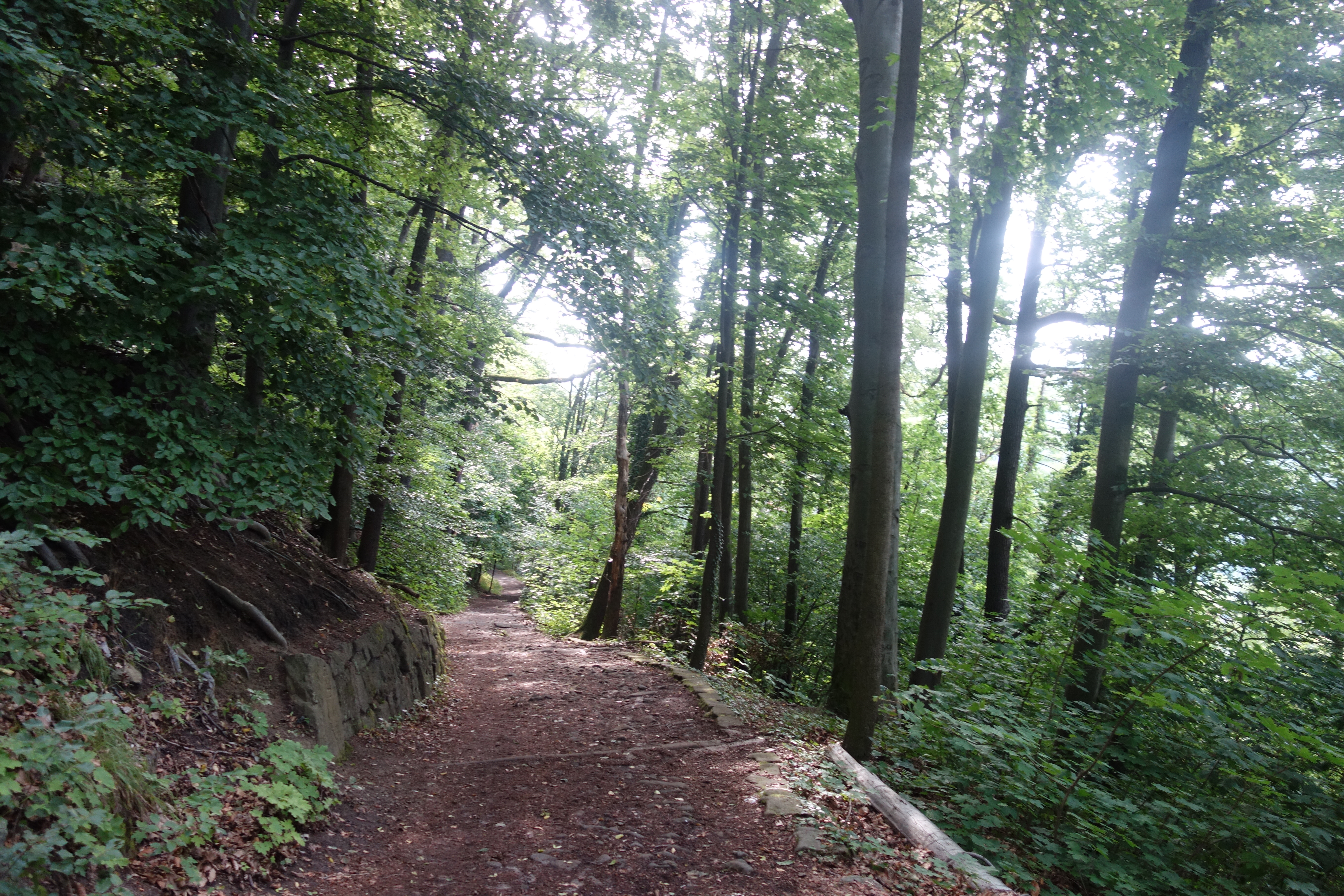
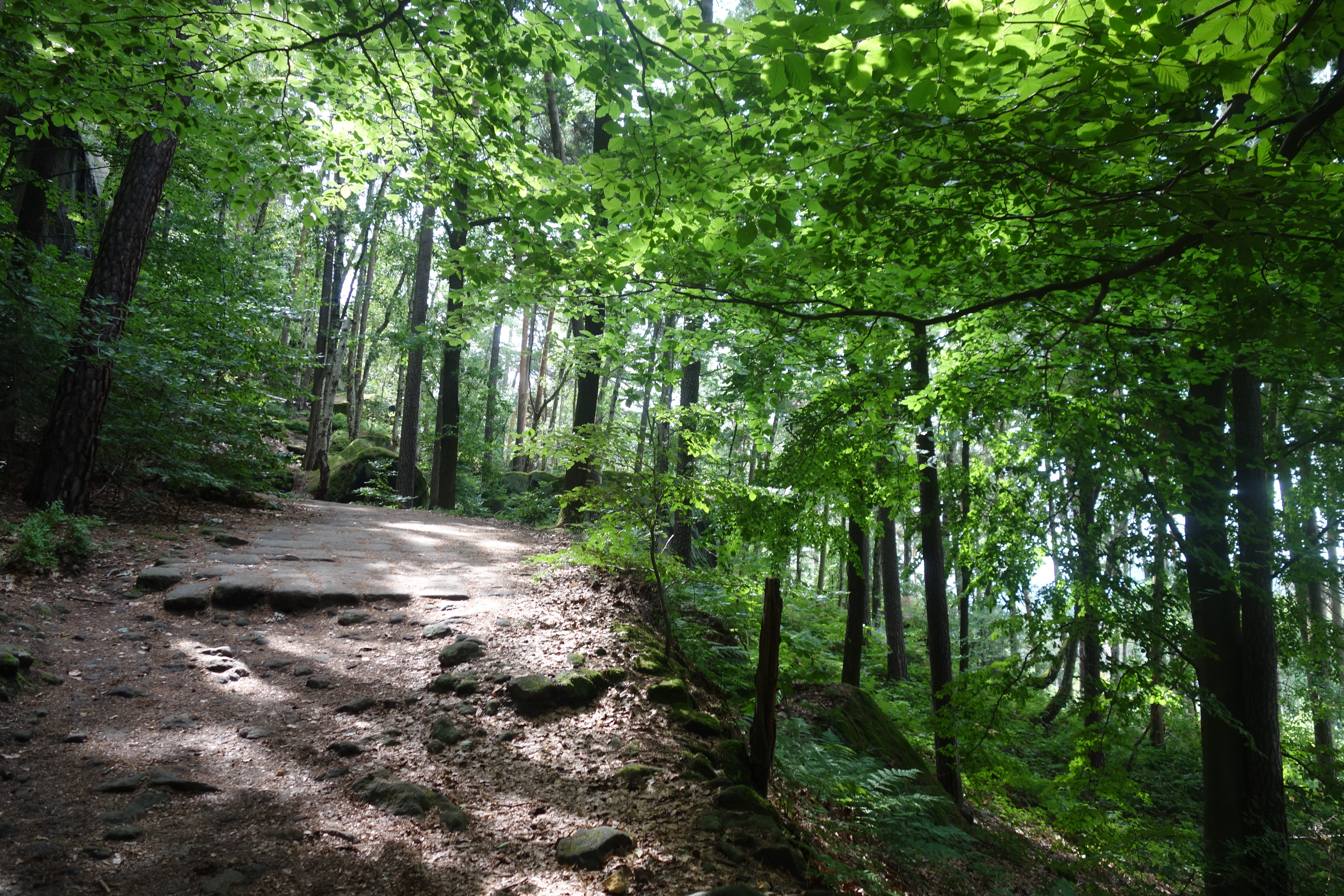
It didn’t take us too long to leave Le Puy behind us and to swap the city streets for forest tracks, dirt roads and gravel. For a large part of today’s walk we would be following the Camino. We would meet quite a lot of fellow hikers, but would outwalk most of them early on. The first two people we met were a couple. The husband was maintaining a steady pace, a good 30 metres ahead of his wife, who didn’t seem to be that enthusiastic. The second hiker was a bit more peculiar, wearing a heavy plastic bag in his left hand as well as a backpack. It must have been quite unpractical, especially on the first climb on a forest track with stones scattered here and there.
Cats of the Cevennes
Today’s stage would bring us to small hamlets like L’Holme and L’Herm and villages like Courbon, where a young Loire runs towards a lonely ruin. In Flanders most of these places would be part of a bigger community. Many of these consist of only a few streets or houses. But in this sparsely populated area some of these villages, often with less than 100 inhabitants, have a maire and a mairie.
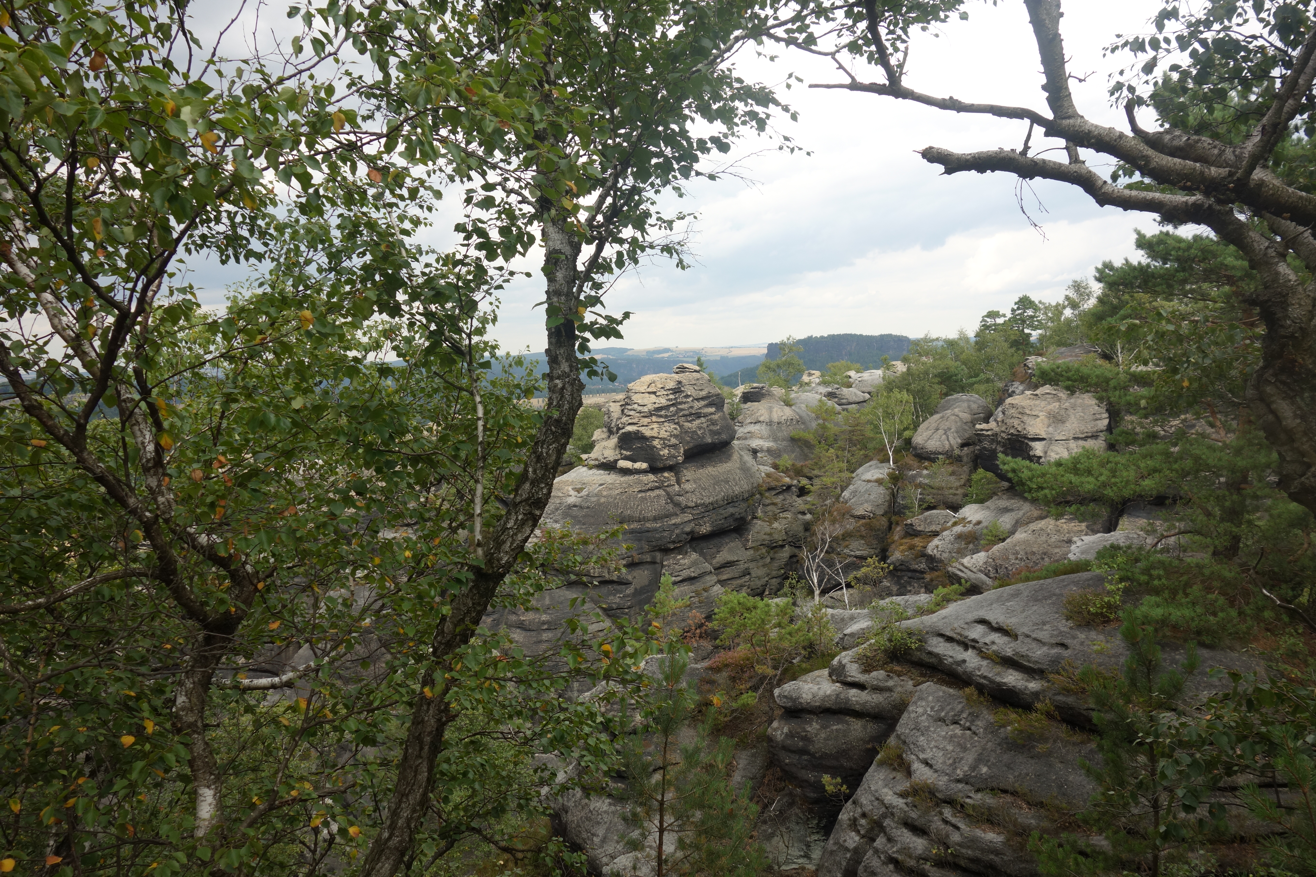
The first stage is mostly pastoral, with gentle slopes, stacks of hay and a couple of cows in the distance. The landscape of the Velay is shaped by vulcanic activity and it’s a treat for hikers. Just before heading into a small forest we get a last look over le Puy-en-Velay, with its prominent features towering over the city, the cathedral, the church on the plug, the Red Madonna and a few kilometres outside the city, the chateau de Polignac.
Spontaneously a series of photo opportunities emerged. Just before the village of Volhac we were greeted by a black and white cat. Being cat enthusiasts we set out to capture as many cats as possible, perhaps even enough for a Cats of the Cevennes-calendar. With 12 days of walking left, we weren’t being too ambitious. However, not every day would prove to be as succesful.
Another recurring phenomenon on this first day of walking was the prominent appearance of crosses. Between Le Puy and Le Monastier we saw all sorts of crosses, in different shapes, heights and from different eras. In the first village we entered, in Ours, there was one from the 12th century. After that a dozen crosses crossed our paths. It was as authentic a symbol of the religious traditions of the Velay as the procession we saw the day before in Le Puy. Cats of Stevenson. Crosses of Stevenson.
Not yet on the Chemin de Stevenson
My use of Stevenson is not entirely correct. This was our first day of walking but in fact it was a prologue. The Scottish writer didn’t stay in Le Puy-en-Velay for too long and went straight for Le Monsatier-sur-Gazeille, which was the actual starting point of his journey. Maybe a Protestant like him wasn’t too keen on staying to long in a place which such Catholic fervor. In a little place called Le Monastier, in a pleasant highland valley fifteen miles from Le Puy, I spent about a month of fine days. These were the first wordt he wrote in his Journey Through the Cevennes. Today’s starting point wasn’t worth more than a mention.
And yet our first day was undoubtedly the real deal. The forest tracks, the pastoral panoramas, the little villages with old churches and ancient crosses. It’s definitely not something that “has to be done”, waiting until the trail really shows its true colours. That was the case when we did our first long distance hike, the Hadrian’s Wall Path. It took the first 14 kilometres, through the suburbs and the center of Newcastle, to really take off. After leaving Le Puy you’re immediatly surrounded by wonderful scenery. And the few signs of civilization that cross your path are villages or hamlets with a maximum of 80 inhabitants.
One of those hamlets was L’Herm, another collection of houses with two strategically places stone benches. It was an ideal moment for a lunch break. And to make it even better, there was another cat! Ten left to go. After this short stop we only had 4,5 kilometres left. The gravel road soon changed into a grassy track and we almost felt like we were walking on Hadrian’s Wall Path once more. In the distance today’s destination became clearly visible. What a lovely day.

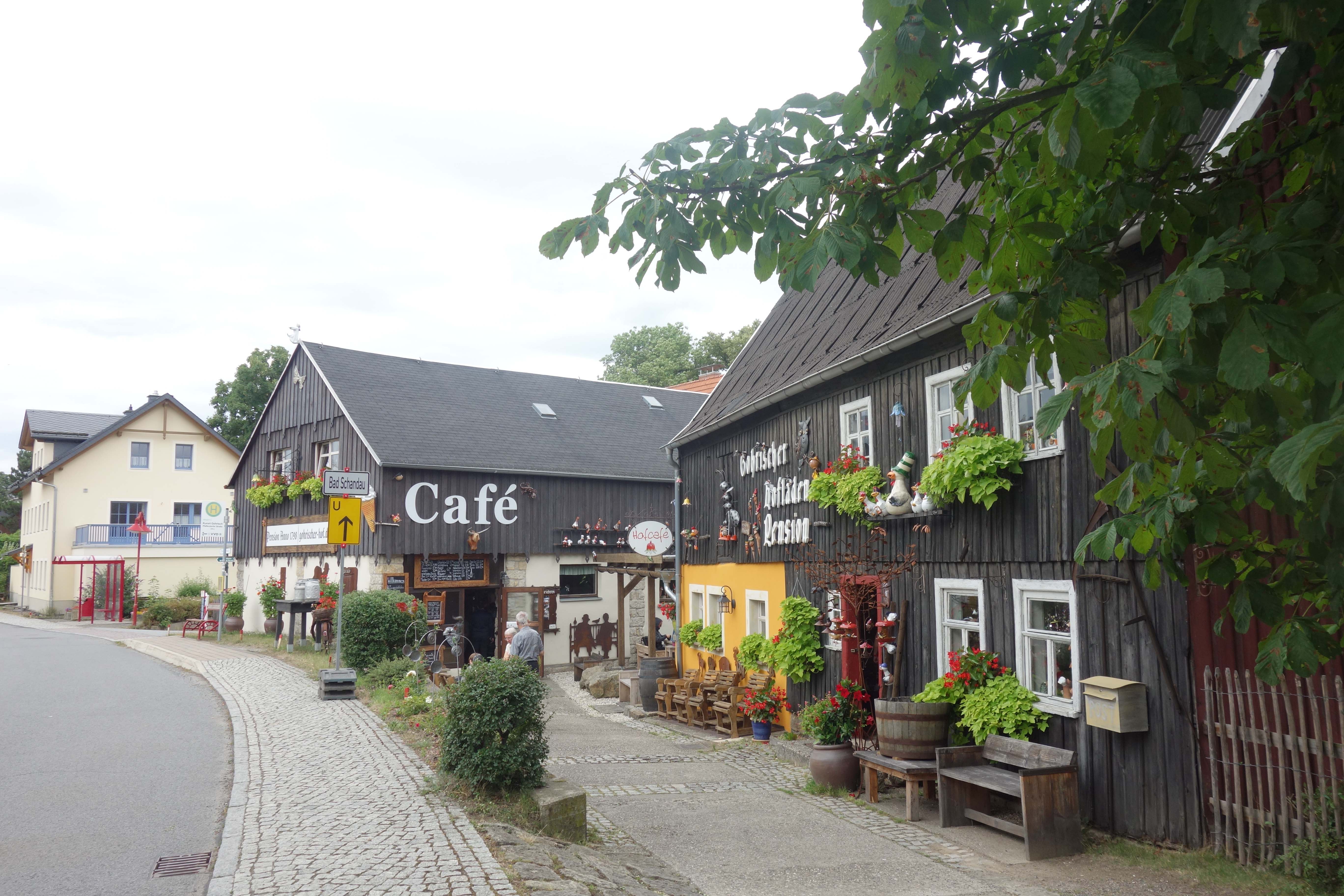
Le Monastier-sur-Gazeille
Le Monastier-sur-Gazeille would prove to be an archetype of the villages we would see and stay for the night. Narrow streets, old houses and churches. In this case also a monastery that gave it’s name to the village. Built on the site of two earlier churches, the abbatical church has its origins in the 11th century and grew in size as well as regional importance. After a partial colapse it had to be restored. The organ of 1518 dates from that periode. Afterwards its dominance would decrease and at the end of the 16th century it would come under the influence of Cluny. It would be disbanded during the French Revolution. Today it’s a must when visiting the small village.
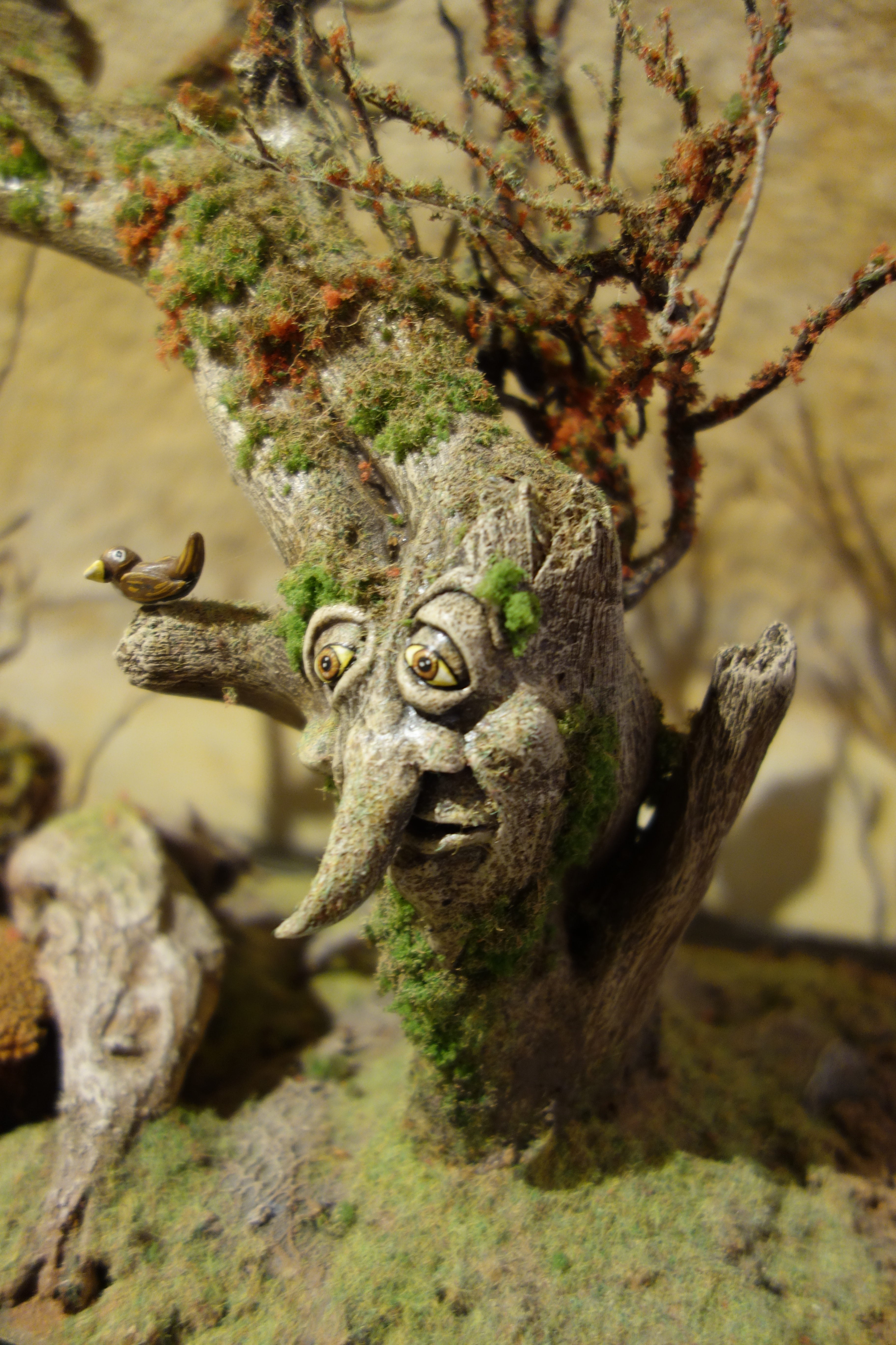
According to Tripadvisor, the village also had an interesting museum about folk culture and popular beliefs. The second part was correct, the first debatable. The Musée des Croyances Populaires is a small museum, situated in the castle, that collects different folk tales and portrays them with rather ugly model figurines. Apart from the usual suspects, like enchanting ladies in white, devils disguised as animals and fairies and trolls it also features less known creatures from the Occitan culture. It is definitely made with great care and love, but the entrance fee of 5 euro is a bit pricey.
The accomodation
We stayed in Le Provence, which is more French than Bristol, but unfortunately less charming. It was a rustic 2 star hotel. The first room we were give wasn’t cleaned, so we got a new one, with an extra bed and a lot more space, although the television was rather on the small side.
The food
After paté, we got pork with a lot of gnocchi, which was good, but a bit too much as a portion. Because of that we also refused the cheese, which, as it would turn out, would prove to be part of a standard four course meal. We did however had room enough for a decent tiramisu.
Conclusion
And that was it for our first day. We left our hotel to enjoy the silence of the evening. After failing to find the memorial plaque that marks the official start, we sat on a bench and Sara started drawing the little church near our hotel. In the distance we saw silhouettes of the hills, in the direction where we were heading tomorrow. The epilogue of the prologue or the prologue of the Chemin de Stevenson had come to end. Tomorrow we would finally begin our journey on the GR 70.